Sky-to-GIS
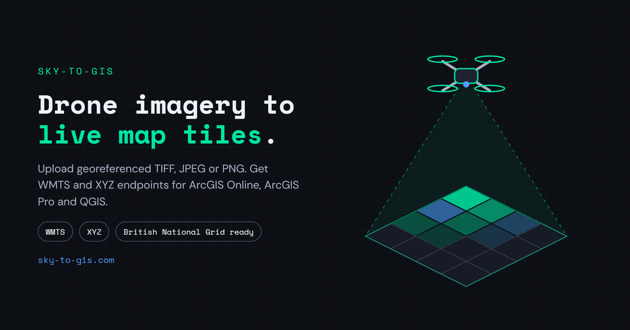
Your drone images - reprojected, tiled, and published as WMTS and XYZ endpoints for ArcGIS Online & other GIS clients. No infrastructure and no install needed.
An account is needed for this browser app. Trial accounts available.
View the manual.