DXF Geocoder
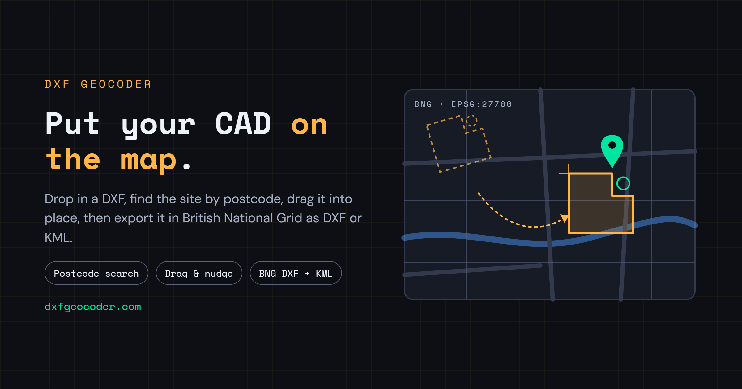
This free-to-use tool allows you to load a DXF or DWF drawing file, position it on an OpenStreetMap background, and export it as a georeferenced DXF or KML file in British National Grid (EPSG:27700) coordinates.
Auto-detection of coordinate system and unit scale
Drag, nudge, and scale positioning
UK postcode search via postcodes.io
Export as georeferenced DXF or KML
Layer visibility control
Handles files up to several hundred MB
View Manual